The History of Ciales
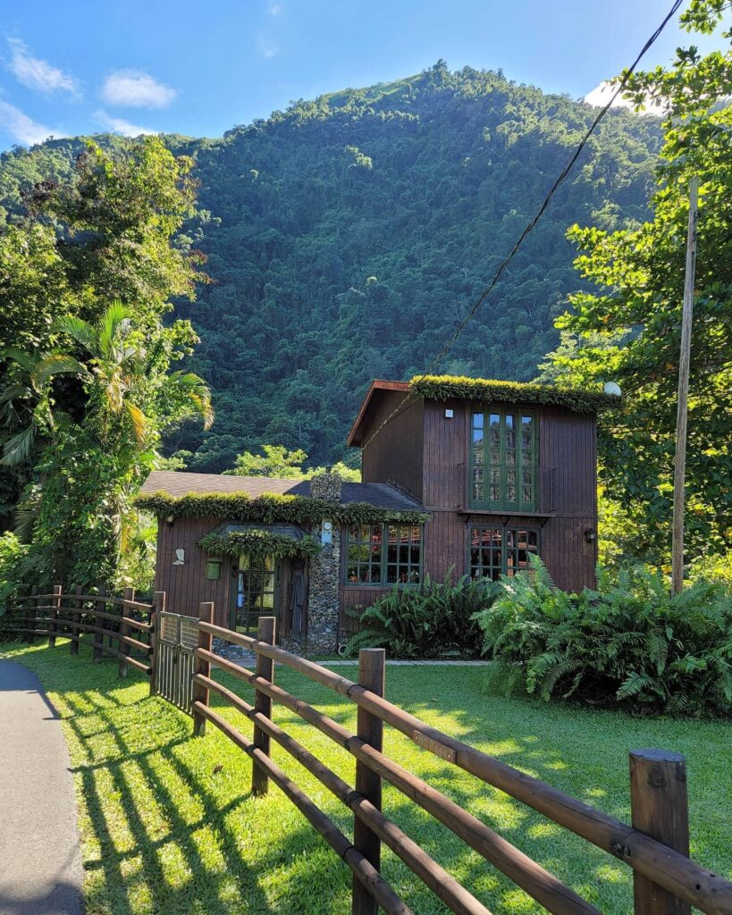
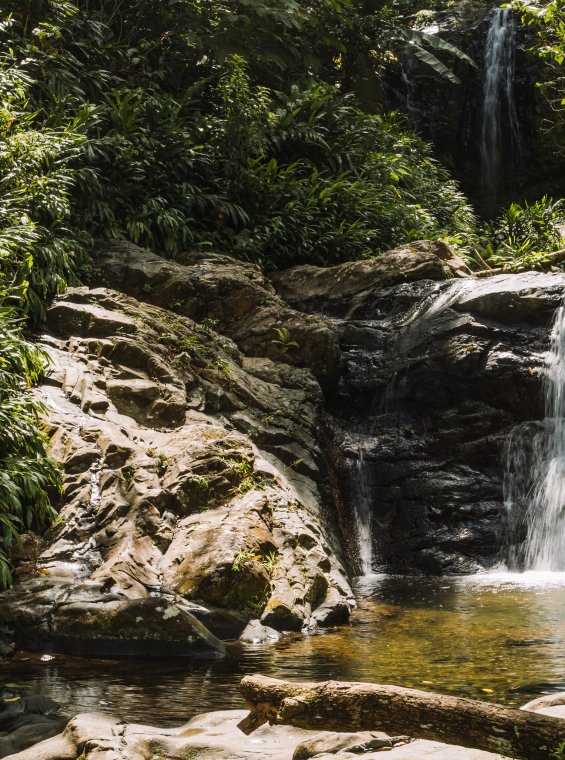
Ciales is a municipality in the central mountainous region of Puerto Rico. It was founded on June 24, 1820 by Isidro Rodríguez. It is also known as “The City of Cohoba”, “The Land of Coffee” and “Ciales, Gate of the Central Mountain Range”. Ciales is divided into 8 neighborhoods and Ciales Pueblo, the administrative center and main population of the municipality. Ciales is located in the northern and central area of Puerto Rico. It borders the towns of Manatí and Barceloneta to the north, Jayuya and Orocovis to the south, Morovis to the east, and Utuado to the west. Currently, Ciales has eight neighborhoods: Jaguas, Pesas, Cordillera, Pozas, Hato Viejo, Cialitos, Toro Negro and Frontón.
The History of Orocovis
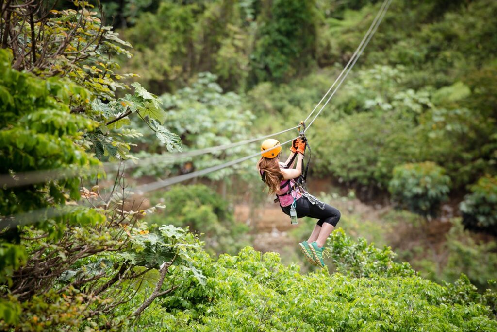
After Spaniards settled in the island, the region was part of the south of Manatí and the north region of Coamo. By 1823 Orocovis was a barrio of Barranquitas while Morovis (previously part of Manatí) had a barrio called Barros. Both Orocovis and Barros were eventually united to establish a new town.
The History of Morovis
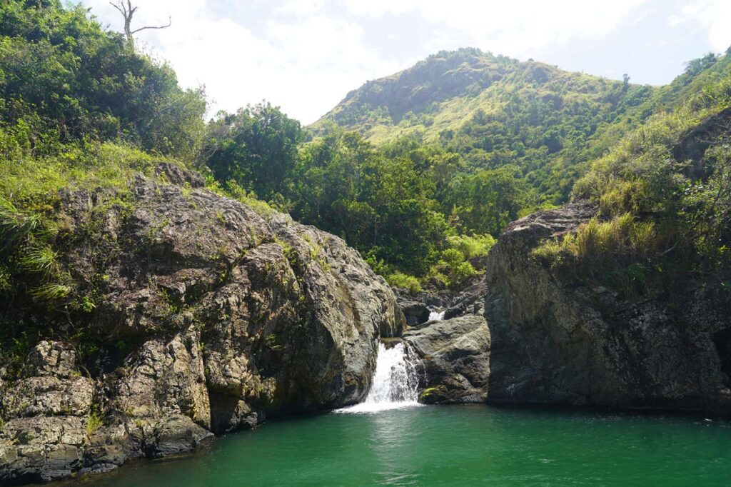
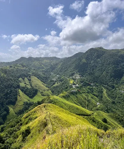
Morovis (mo-RO-vis) is known as the Island Except Morovi. The phrase used is originated in a cholera epidemic that devastated Puerto Rico in 1853. Historical records show that Morovis was the only municipality where no cases were reported, and every time the topic was mentioned people would say “All of the island, except Morovis”. Our Lady of Mount Carmel is the patron saint, and the festival in her honor is held in July.
Morovis is located in the northern part of Puerto Rico. The municipality is located in the humid northern hills, and the northernmost part of the territory is located in the karst area.
The History of Jayuya
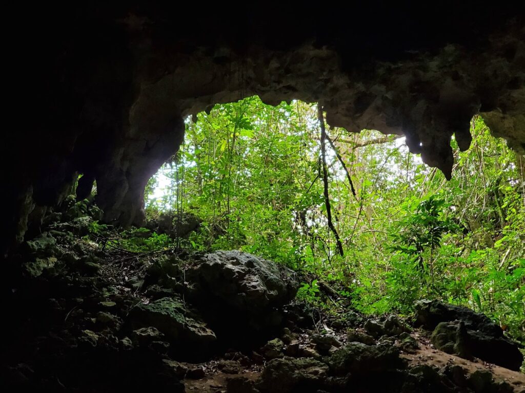
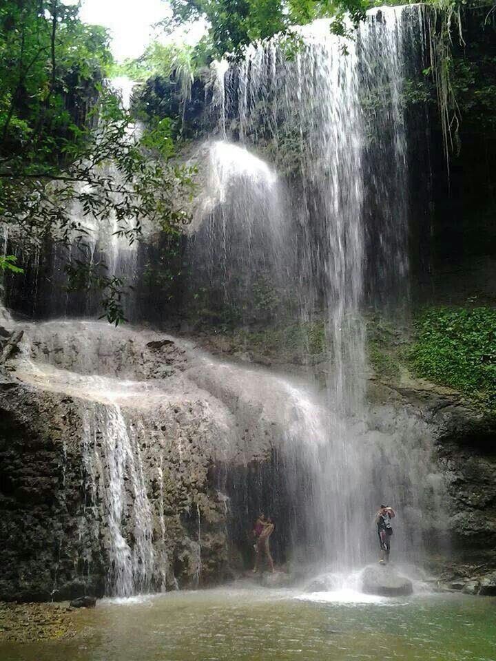
Jayuya is a town and municipality of Puerto Rico located in the mountainous center region of the island, north of Ponce; east of Utuado; and west of Ciales. Jayuya is spread over 10 barrios and Jayuya Pueblo. It is the principal city of the Jayuya Micropolitan Statistical Area.
The History of Corozal
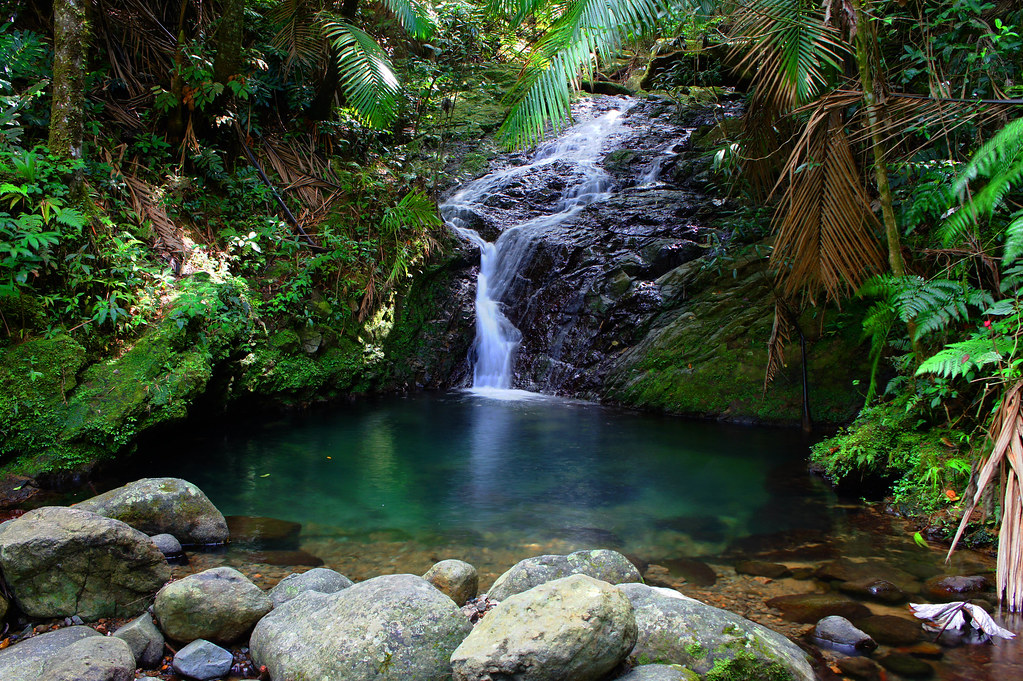
Corozal is a town and municipality of Puerto Rico located in the central-eastern region, north of Orocovis and Barranquitas; south of Vega Alta; southwest of Toa Alta; east of Morovis and Orocovis; and west of Naranjito. Corozal is spread over 12 barrios and Corozal Pueblo.


